VISIO Engineering Ltd.
9748 Vát, Alkotmány street 11.
Phone
+36 20 460 3058 Administrator
+36 30 254 8940 (technical)
Email: info@visiokft.hu
Weekdays 8:00 AM - 5:00 PM
VISIO Engineering Ltd.
9748 Vát, Alkotmány street 11.
Phone
+36 20 460 3058 Administrator
+36 30 254 8940 (technical)
Email: info@visiokft.hu
Weekdays 8:00 AM - 5:00 PM
We carry out geospatial digital surveys using state-of-the-art laser scanners, covering areas of several thousand square metres quickly, accurately, and without remeasurement errors. With our own FARO and LEICA laser scanners, we undertake projects anywhere in the country and abroad.
It is one of the most advanced and efficient methods of capturing spatial data. Within just a few minutes, a laser scanner can measure the 3D coordinates of several million points with exceptional accuracy and without physical contact.
The result is a three-dimensional “point cloud” made up of countless data points that accurately represents the real environment. During subsequent processing, dimensions can be determined at any selected location with millimetre-level precision.
A specialised form of laser scanning is 3D terrestrial scanning, which is particularly valuable when surveying buildings and large areas. The measurable distance accuracy is ±2 mm over a range of 0.6 to 130 metres, with a scanning speed of up to one million points per second. This eliminates surveying errors and removes the need for repeated site visits or additional measurements.
Our Surveying Services:
• Creation of registered point clouds and virtual tours
• 3D modelling based on the survey, including the updating of layout drawings in both 2D and 3D
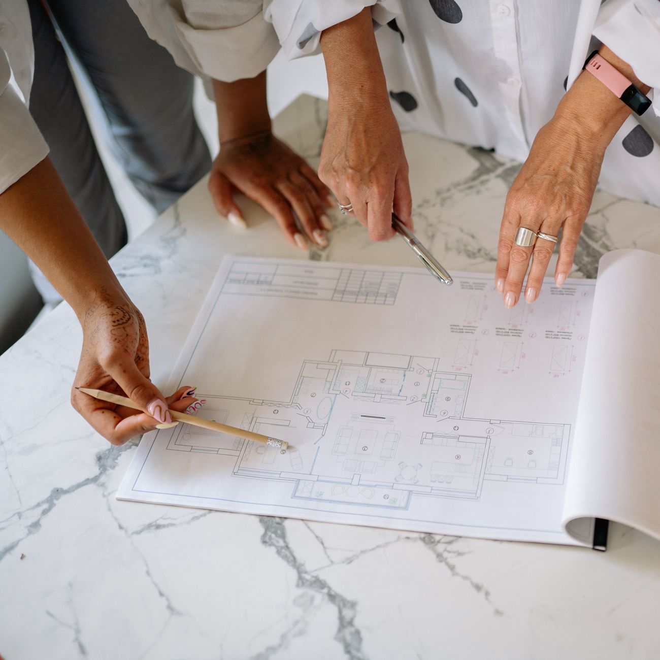
• Preparation of architectural documentation (floor plans, sections, and elevations)
• Clash detection based on the provided model and the survey data
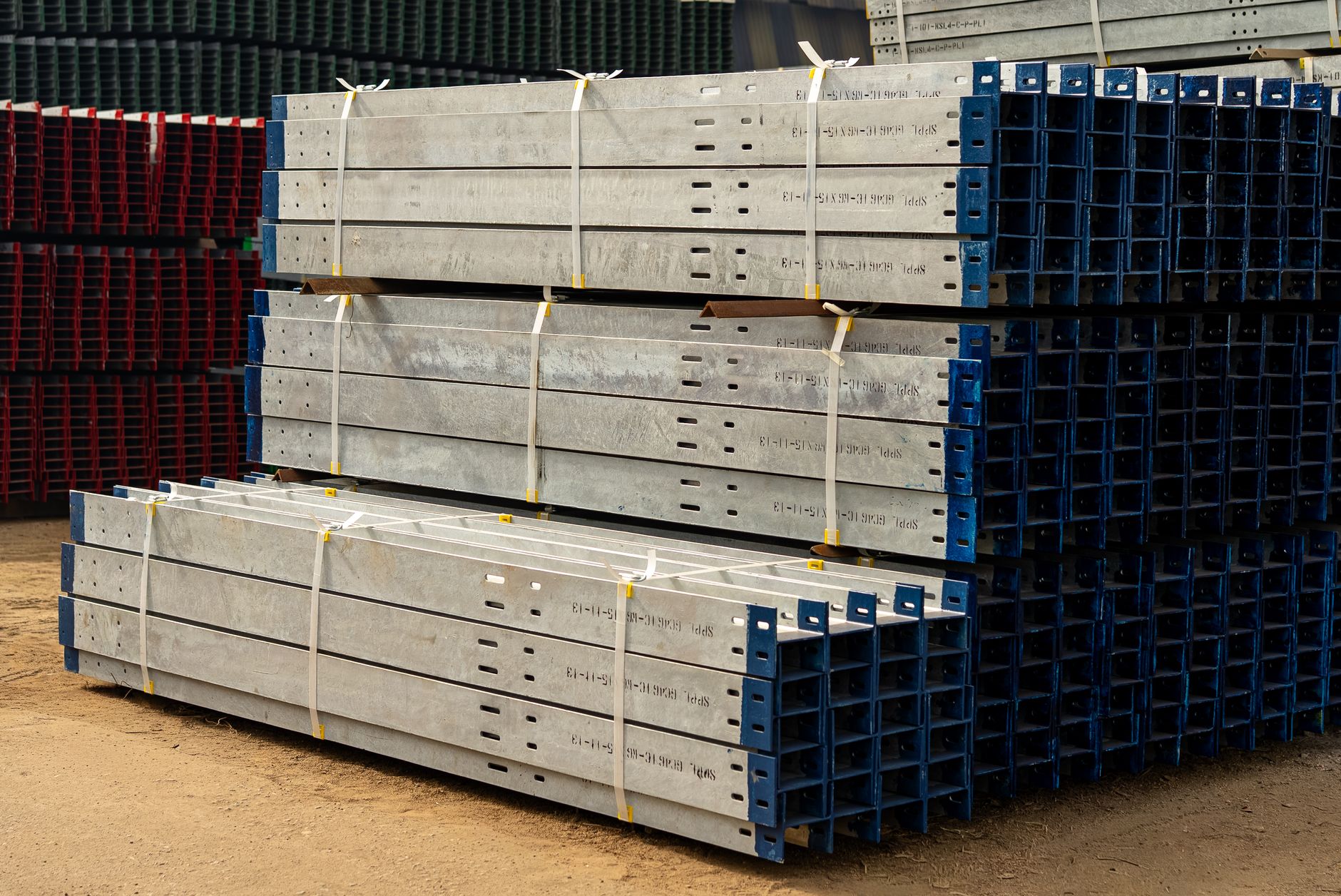
• Volume calculation for bulk material stockpiles
• Digitisation of building services systems
• Heritage conservation and condition assessment surveys
Areas of Application
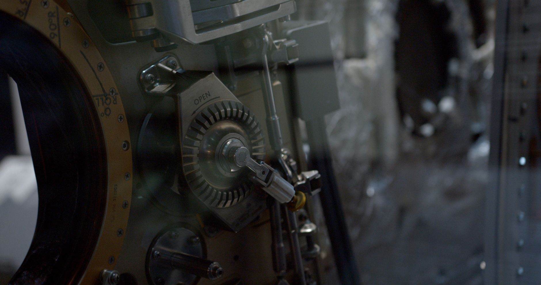
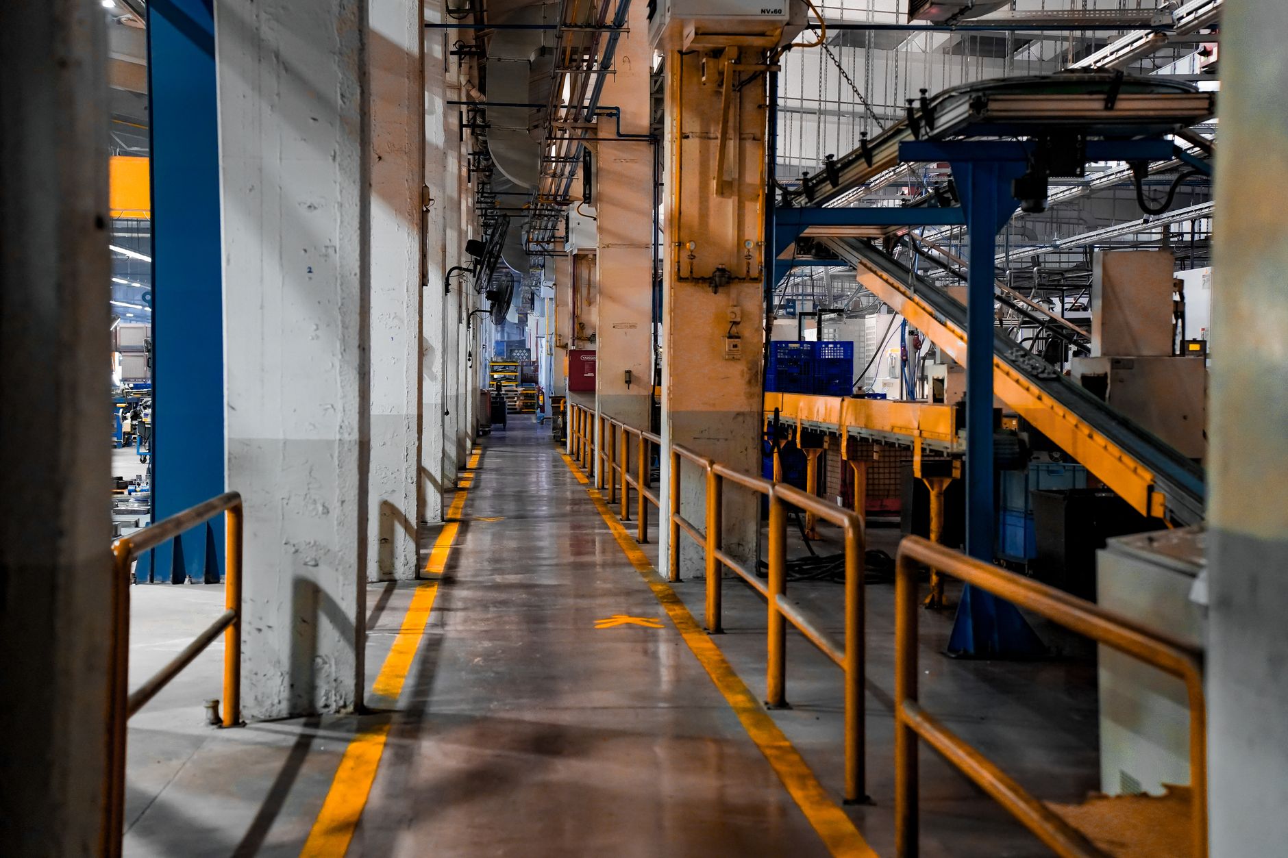
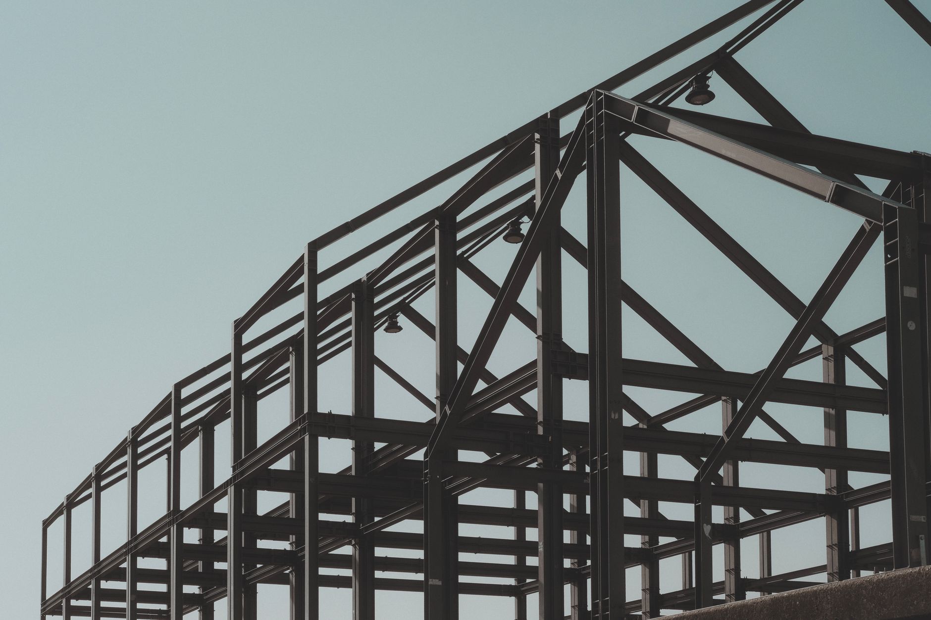
Surveying complete mechanical systems of industrial facilities, including pipe and utility routes, as well as steel and reinforced concrete structures.
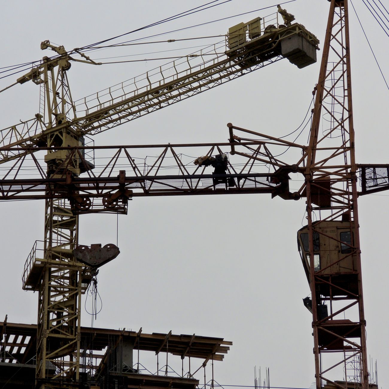
For design support, comparing plans with actual site conditions during construction, and preparing as-built documentation upon project completion.
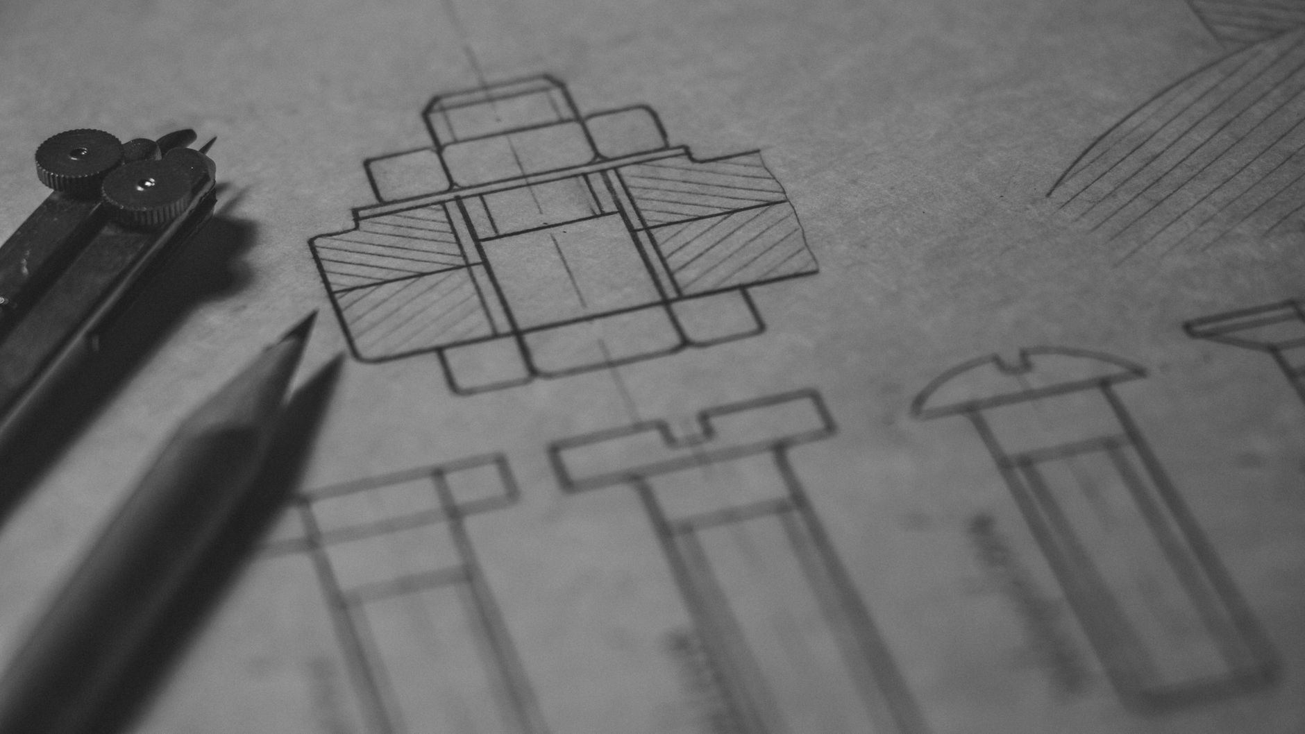
For the protection or restoration of architectural heritage by accurately recording existing conditions, original and unique forms, and artistic details.
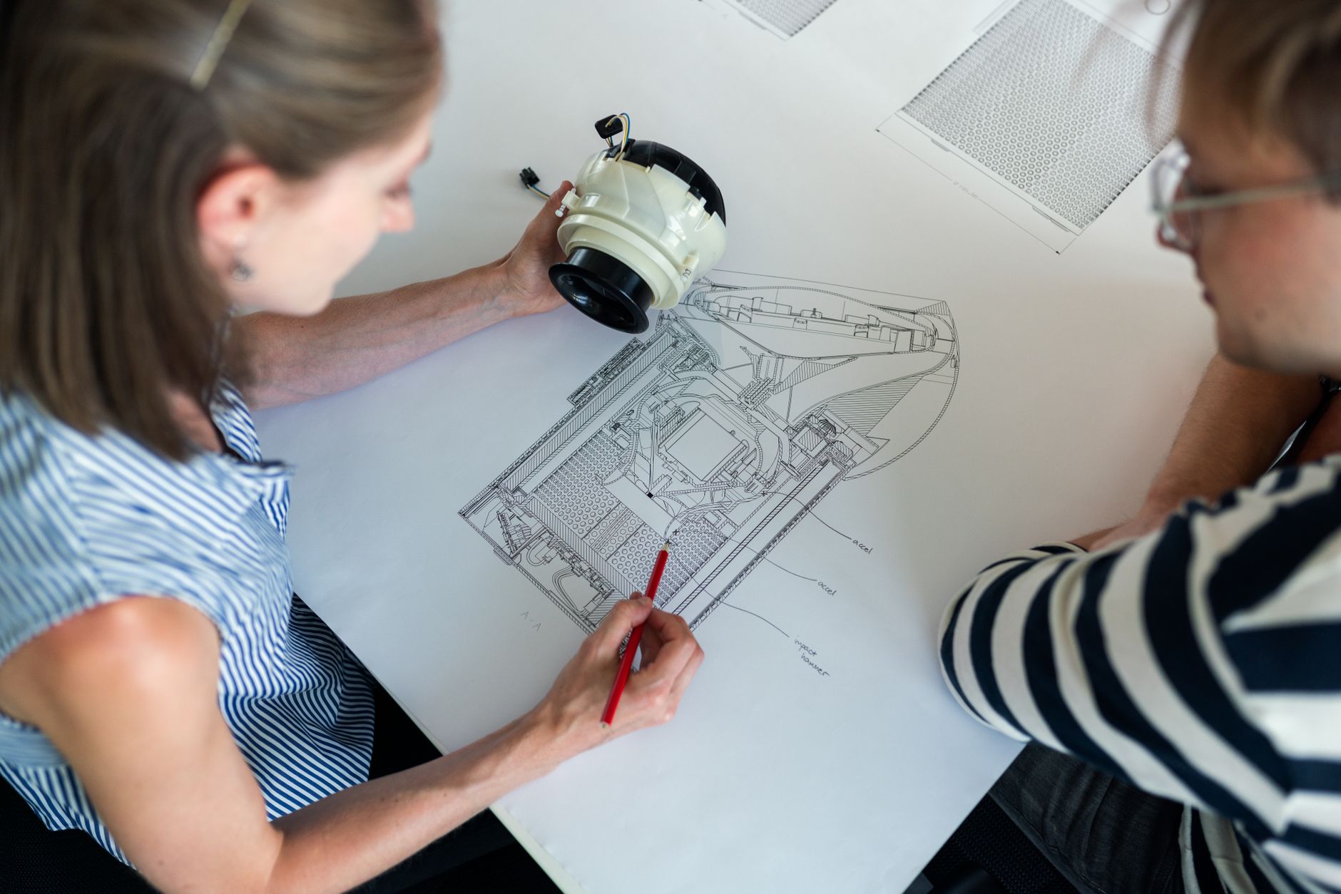
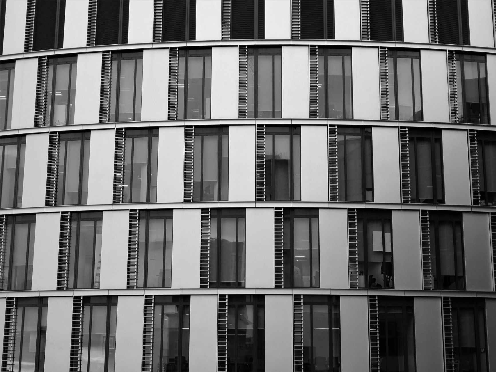
For the renovation or conversion of existing buildings, as well as the preparation of floor plans, elevation drawings, sections, and panoramic images.
References
3D Laser Scanner Surveying
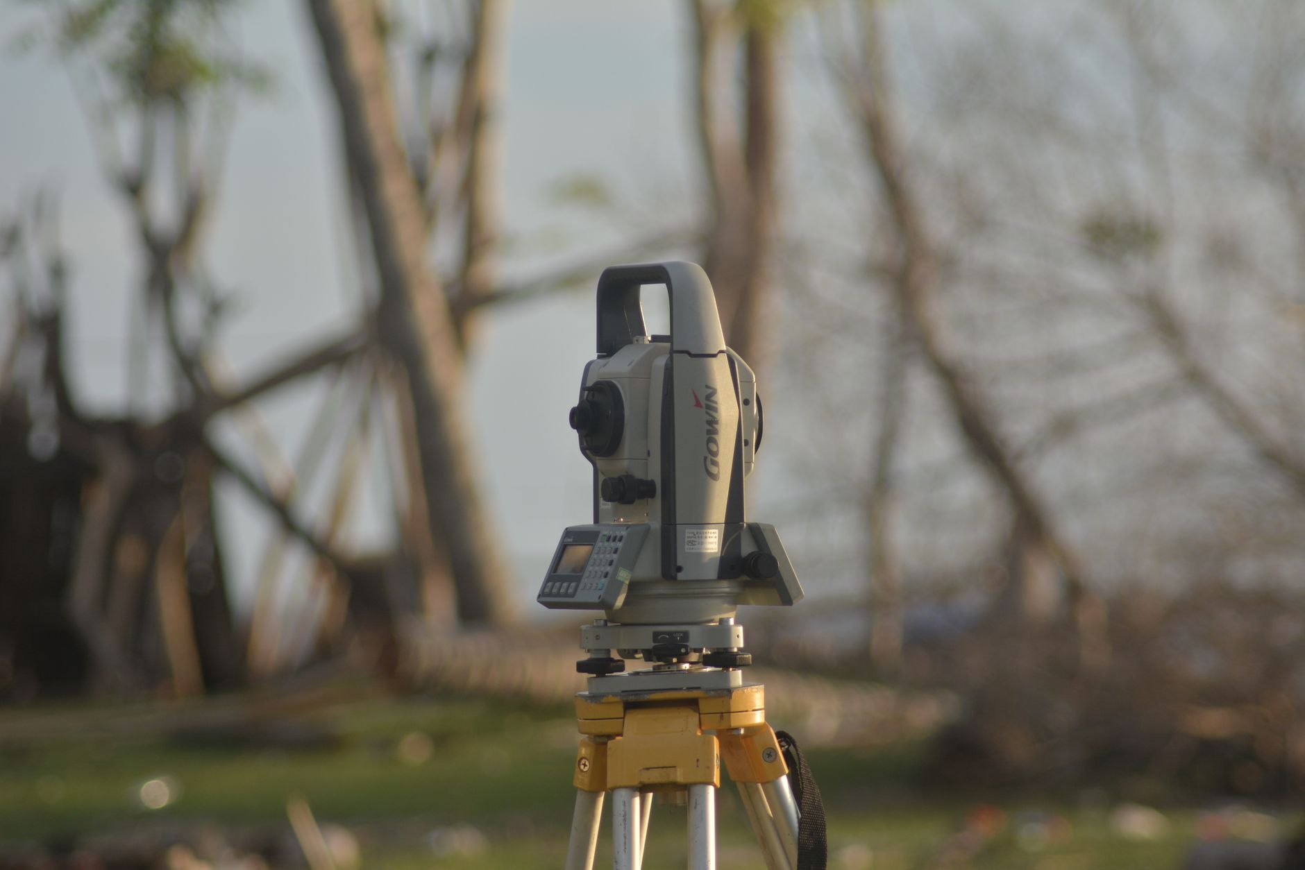
Surveying and documenting complete mechanical systems, pipe and utility routes, and steel and reinforced concrete structures in industrial halls and manufacturing plants.

Point Cloud and 3D Model
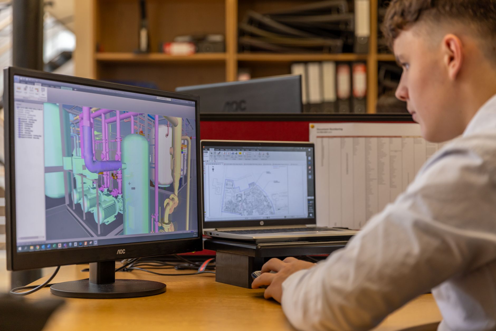
Point-cloud-based digitisation of existing building services systems, as well as the reconstruction of missing or incomplete technical documentation using the survey data.
Conservation Documentation
Contactless recording of the current condition of architectural heritage, including the precise surveying of unique forms and artistic details for renovation and restoration.
FAQ
This is one of the most common misconceptions we encounter when speaking with prospective clients. In fact, one of the greatest advantages of the process is its cost-effectiveness. Many are surprised to learn that even for smaller surveys, the required data can often be obtained more affordably than with traditional surveying methods.
It is natural to want to learn more before purchasing a product or service, and in many cases online research alone is not enough. For this reason, we offer prospective clients the opportunity to try the method in practice. At the client’s premises, we provide a free consultation combined with a practical demonstration, during which we answer any questions they may have.
To prepare a quotation, we need to assess the site. Ideally, this is done in person, but if that is not possible, we can also provide a quotation based on videos and photographs.
This is necessary because our quotations are not based on a fixed rate, such as a price per square metre, but are always tailored to the specific project.
Provided that sufficient information about the site is available, we can prepare a quotation for the survey within as little as one day.
In brief: whenever an area or building needs to be surveyed quickly and accurately.
Even several hundred or several thousand square metres can be surveyed in just a few days, meaning that an accurate digital representation of the area may be available as early as the day after the survey.
It is therefore an ideal solution when deadlines are tight, there is not enough time or capacity to carry out the survey manually, or the available documentation is missing or of insufficient quality.
This naturally depends on the size and complexity of the surveyed area. As a general rule, after a one-day survey, approximately one additional working day is required to register and clean the point cloud. Therefore, under ideal conditions, the results of a one-day 3D scanning survey can be delivered as early as the following day.
A three-dimensional point cloud is essentially the digital equivalent of a manual survey, using modern surveying technology to eliminate inaccuracies caused by human error. Point clouds have an extremely wide range of applications, from architecture and heritage conservation to crime scene investigation, making it impossible to describe all their uses briefly. Further information about their areas of application is available on our website.
Basically, yes. A point cloud created during a survey may contain several billion measured points and can range from several gigabytes to tens of gigabytes in size.
Nevertheless, it can be opened and measured using free software, without requiring excessively expensive hardware.
Naturally, workstations capable of running 3D design software can also handle point clouds.
The point cloud can, of course, be updated at a later stage. If changes occur, there is no need to repeat the entire survey; only the affected area and a small section of its unchanged surroundings need to be rescanned to provide reference points. As a result, the point cloud can be kept up to date with minimal investment, especially when used together with the available free software solutions that allow point clouds to be opened and viewed.
Of course. Upon request, we can create a 2D floor plan or a 3D model from the point cloud generated during the survey, or update an existing one.
Both methods can be used to create a point cloud. The main difference is that photogrammetry generates a 3D point cloud from a large number of photographs using software, whereas terrestrial laser scanning performs immediate laser-based distance measurements using a physical measurement principle. This difference also determines the most suitable application of each method. Although photogrammetry is an excellent solution in many cases, terrestrial laser scanning is the preferred method in industrial environments and wherever reliable, highly accurate survey data is essential. The measurements are carried out using tested and certified equipment, meaning the results may also be used in forensic investigations and quality assurance matters.
The point clouds produced by colour and monochrome surveys are equally accurate. The number and spacing of the measured 3D points do not depend on whether the laser scanning is carried out in colour or monochrome.
Based on the above, the type of point cloud should be selected according to its intended use. For example, in engineering applications such as modifying or expanding an industrial site, or checking the flatness of an industrial floor, a colour point cloud provides no significant added value.
By contrast, for heritage conservation surveys or presentation purposes, carrying out the laser scanning in colour is almost always the preferred choice.
REQUEST A FREE QUOTE
Our quotations are not based on flat rates but are always tailored to the specific project. We determine an individual price in every case, depending on the nature of the work. Contact us, and let’s discuss the details of your survey.
Gallery